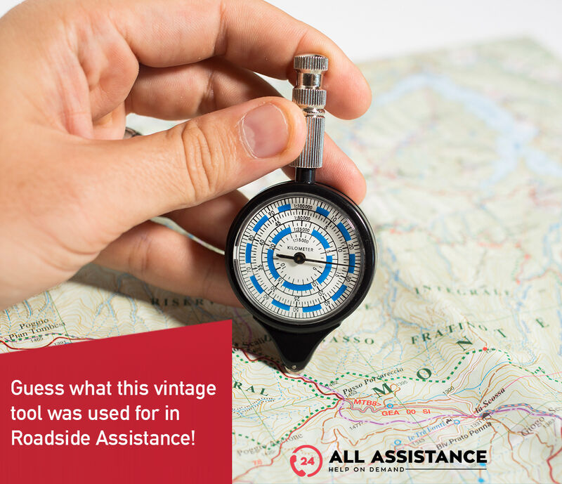
During the last ACADEMY we learned something we didn’t know about the world of assistance and its history. 📖
Back in the days before the internet and Google Maps, procedures were quite different. This device was used, and the assistance operator on the phone would measure distances using this tool.
🗺️ An Opisometer, or map measurer, is fascinating and here’s how it works:
📌 Measuring Distance:
Step 1: Place the wheel of the opisometer at the starting point on the map.
Step 2: Roll the wheel along the route to the destination point.
Step 3: The device registers the distance traveled on its dial, which can then be converted based on the map’s scale.
📌 Converting to Real-World Distance:
Match the measured distance to the correct scale on the opisometer’s dial to convert it into actual kilometers or miles.
📌 Use in Roadside Assistance:
Before digital maps, roadside assistance teams used opisometers to measure distances and estimate travel times.
📌 Locate the Client:
Using a physical map, the operator would pinpoint the client’s location and the nearest assistance team.
📌 Measure and Calculate:
They would then measure the distance using the opisometer and estimate the time needed for the team to reach the client based on the distance and typical travel speeds.
This method ensured that even without modern technology, assistance teams could provide accurate and timely support, showcasing the dedication of those early operators.


